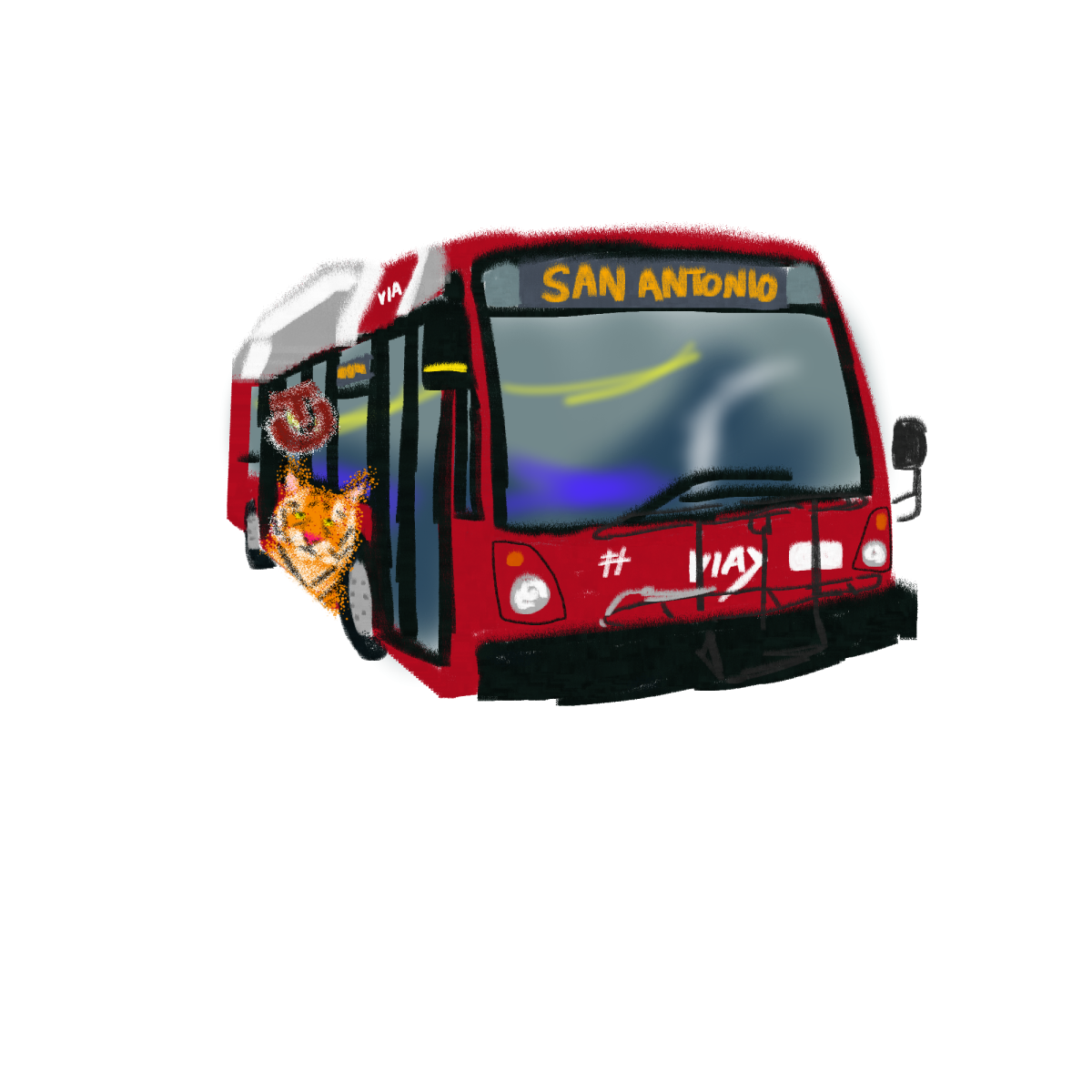
Despite being a great city, a major downside of San Antonio is how difficult it is to get around without a car.. Fortunately, there is a relatively fast, cheap and safe option: the bus system. You may notice– or perhaps haven’t until now– that there are various bus stops located near and around campus. Utilizing the bus may feel daunting at first, but if you wish to explore the city in a much more cost-effective manner than ride-sharing services or relying on your one friend with a car, this may be the right transportation system for you.
Here are some need-to-know tips that will help you learn to navigate the bus system:
Students qualify for a reduced fare for tickets on all non-express Via lines. Just be ready to present your student ID upon request. Buying a ticket on the Via app, VIA goMobile+, is easy and allows you to show a QR code with your ticket on it without the use of a bus card, though you can also pay in cash when you board.
Check bus schedules often while you’re traveling. Depending on your destination, you may need to transfer buses and know when they depart. Via has a coinciding Transit app that displays routes and can even be synced up with a ticket in advance while planning a trip.
Text the five-digit number on your bus stop to 52020 to get the most accurate results for a bus’s arrival.
Bus routes will take longer than most car rides, so plan to make the most out of your journey. Listen to music or a podcast while you ride, just make sure to watch for your stop approaching, and pull on the yellow cord in the bus to signal for a stop.
To board an approaching bus, get up and stand in front of the stop next to the sign, and the bus should pull over for you to get on. Don’t chase after the bus if you miss it — there will be another bus, but there’s only one you. If you’re waiting for a different bus, a headshake or a thumbs-up to the driver is sufficient to let them know they don’t need to stop.
Here is a list of bus stops at or near Trinity:
Route 8 Going South: North St. Mary’s to Downtown
Trinity Sams Center – this stop is close to Verna McLean Hall and the Intramural Field. This bus goes south along the N St. Mary’s strip until it reaches downtown, becoming Route 67. Easiest way to get downtown and to the many shops, clubs and restaurants along the strip. This stop is recommended to be dropped off if traveling down Route 8 from farther north.
“Trinity University” – this stop is hidden behind the long shadow of the Coates Student Center. While nicely shaded, this stop is not as easily accessible by lower campus as the Trinity Sams Center stop and is placed awkwardly away from the sidewalks.
Stadium Dr & Devine & N Campus Dr – further up Stadium Drive, this stop is closer to the park near the edge of campus than any building, and is not particularly convenient for students to travel from.
Route 8 Going North: Randolph Park & Ride
Alamo Stadium – across the street from Coates and Northrup, this bus goes north along big streets like Hildebrand, Broadway and the Austin Highway to name a few. Access stores in Uptown or a Target and Five Below further down the line. Past the Target stop, transfer to Route 14 to access an *HEB, Walmart, Canes and Goodwill. This is the closest stop across the highway to be dropped off when traveling from further south. While waiting for your bus though, please note that there is little-to-no shade at this stop, and it can be quite sunny. Should you arrive at the stop early, it is recommended that you wait under the tree on the other side of the street for a few minutes before crossing. The bus is visible from far down the hill as it drives up.
Route 509 Going West
Hildebrand/Devine Rd: across the street east from City Vista, northeast of campus. This route travels down East Hildebrand, passing by big streets like McCullough and San Pedro. Walgreens and various restaurants are found here. Some thrift stores are also in the area, including Boysville and Buffalo Exchange, as is HEB, but note that you will need to walk some distance to get to these, as there is no direct route from the bus.
Route 509 Going East
Hildebrand/Devine Rd: across the street south from City Vista, near the big Trinity sign. This bus follows a similar path to Route 8 Randolph Park & Ride, before detouring at the Austin Highway and Exeter (aka the Target) stop and traveling up Harry Wurzbach. A direct route to the *HEB, but note you will have to cross the highway to take the returning 509 bus. There is a warning light you can press a button for, but stay vigilant and watch the road as you cross.
Route 5 Going North: North Star Transit Center and San Antonio Airport
McCullough & E Kings Hwy: This stop is located down the street directly across from Thomas called East Kings Highway. This route travels up McCullough and heads towards North Star Mall and subsequent Transit Center, and finally to the airport. Many places to explore here. (Fun tidbit to get to one of my favorite places: transfer from route 5 to 648 at North Star Transit Center to travel to San Antonio’s premier photo processing store, Digital Pro Labs along Isom Road. #NotSponsored)
Route 5 Going South: Downtown
McCullough & E Kings Hwy: Again down E Kings Hwy and then across the street. This route travels down McCullough before eventually reaching downtown. Notable stops include an urgent care center and easy access to other medical facilities, and is in close proximity to the bars and nightclubs on N Main Ave that host the premier drag shows of San Antonio (though maybe save that info for when you’re above drinking age ;)) If you want to travel downtown though, Route 8 is your best bet.
sadie the images r on the google drive bc there’s no space in flow

