
Illustration by Genevieve Humphreys
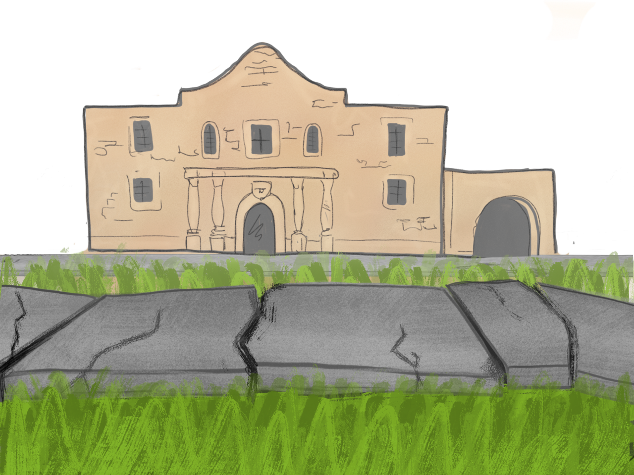
Downtown San Antonio is popular for tourists and locals alike with a variety of destinations. From visiting the Alamo to enjoying the Riverwalk, there are lots of interesting things to do. Pedestrianizing streets, which is the act of prohibiting cars in a certain area, will make downtown more attractive, feel safer and increase business in the area.
Let’s establish why you should care. Downtown San Antonio is about three miles from Trinity University; it is not a world away. If you are a bicycle-lover like I am, it is a 20-minute bike ride using the North Saint Mary’s St. bike route. If you have a car, it is a seven-minute drive using U.S. Route 281 assuming there is no traffic. Or finally, if it is a nice day and you or your friends have the time, just walk to downtown from the start of the Riverwalk on the south side of the golf course at Brackenridge Park.
Pedestrianized areas are all around you. Believe it or not, the Riverwalk is not just in Downtown. It starts from Brackenridge Park, continues past the Pearl, edges the Alamo and morphs into the Mission Trail. The Riverwalk is enjoyed because it provides a long, continuous path of tranquility, scattered local businesses on the side and beautiful sights. It is one of the longest pedestrianized zones in the city. There are not annoying pedestrian crossings across busy streets which force you to wait two minutes for the chance to cross.
Even at the university, pedestrianization had made the university more enjoyable. At Trinity University, North Campus, the side of the university which contains academic facilities, is a pedestrianized area. Notice how a car can’t cross from South Campus, the side of the university which contains sports facilities and student dormitories, to North campus without going off campus. Also, look at the luscious green space between the Murchison Bell Tower and Coates Student Center. Students often study in the area, have picnics and even read books. That would not be possible if there was a street with cars in that area.
Let’s talk about the current conditions of downtown San Antonio. Crossing the street to get from the Tower of the Americas to the Alamo is a mess at East Commerce and South Alamo. There are two consecutive traffic lights, a confusing traffic light cycle and a small street which acts as a car waiting area instead of facilitating car movement. Tourists are squeezed against buildings as the sidewalk is not wide enough. Electric scooters are being ridden on an already-small sidewalk as the riders don’t feel safe enough to ride them on the street. Frankly, this is the story for a lot of Downtown San Antonio. Imagine bringing the tranquility of the Riverwalk and the calmness of the university’s green lawn to Downtown San Antonio.
Small changes make a big difference. Pedestrianizing certain areas of Downtown can increase business as the capacity of the streets will increase which means there are more people closer to businesses. For example, South Alamo Street, which connects the Alamo to the Tower of the Americas, should be pedestrianized permanently. The half-mile segment has a higher concentration of pedestrians than cars at almost all times of the day, so it makes sense to allocate more area to pedestrians than cars.
There is a solution to handle streets with high car levels and high pedestrian levels at different parts of the day. It is possible to have the best of both worlds. Retractable bollards, which may be manually or automatically put in place or taken down, are the solution. Bollards are traffic devices which prevent cars from entering a certain area. City vehicles or delivery trucks for businesses would be able to pass with a key or sensor while the cars of the public would be blocked. Other times of the day, all vehicles would be allowed to use the streets.
The City of San Antonio has the historic downtown, the gem of San Antonio. The public should push the City Council of San Antonio to allocate the funds to start the pedestrianizing of certain areas of downtown to make the already great area, even better.


John • Apr 30, 2019 at 9:51 pm
North St. Mary’s is pretty dangerous for cyclists! My favorite safe biking route from downtown to Trinity is: From the Tobin Center, take Avenue B to Brackenridge Park (by the Witte Museum), then left on Tuleta past the zoo entrance, under 281, and then you’re at the Trinity Campus! For much of the route, you are either in the park, or enjoying the peace and nice scenery along the golf course.
Aaron • May 1, 2019 at 12:05 am
Hey John! Thanks for you comment. I was the writer of this opinion piece. This is long to share my thoughts and experiences and address my opinion as a bicyclist.
The lane configuration on Avenue B near the Pearl is very confusing for cars and cyclists. Last year (or the year before that), I witnessed a cyclist injured in the bike lane and ambulances at Avenue B and Newell Ave. My guess is that he was hit because a car drove in the bike lane. There was a quick fix (I assume because of this incident) for a while with construction cones and the barricade moved in closer to not allow cars to come in the bike lane. Also, the stop sign configuration is quite confusing. The two way cycle lane and the one way street on Avenue B have to stop for opposing traffic. It has always made me uncomfortable.
Also, it sounds like you have to use Broadway to get to the Tobin Center and I usually avoid that area (although I have used that road many times). I believe there are too many traffic lights and too much car traffic. The N St Mary’s Route is mostly one car lane on each side, has slower traffic, and is easier navigate.
There are advantages and disadvantages to both routes. For example, the N St Mary’s Strip is annoying when there are a lot of parked cars forcing cyclists on the center of the street and move back to the side of the road multiple times.
Lastly, I am glad you know about Tuleta Dr. It is a route not used that much since Google Maps does not consider that bicyclists can use the pedestrian bridge near the zoo at Brackenridge Park to cross the river. Although E Mulberry is technically a bike route, I hate streets with one lane on each side with no shoulder and its high traffic levels.
Aaron • May 4, 2019 at 2:10 pm
Hey John! I I discovered the route you were talking about. Thanks for sharing. I never knew Avenue A and Avenue B continued past I-35 into downtown (although segmented). And to think that I rode on Broadway. Your route is definitely more comfortable and safer. Also, I discovered that Camden St and Newell Ave near the Pearl is also a way to cross I-35 to get into downtown. Thanks for sharing.